Russian Forces
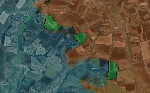
Advance: 1.41 km²
Top Left Advance = 0.35km2, Upper Left Advance = 1.06km2
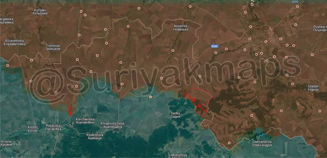
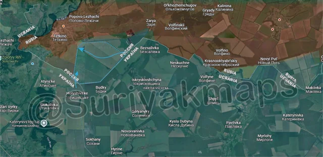
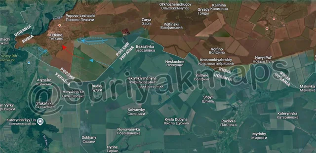
We’re starting this update off in the Tetkino border area, where Ukraine continues to close in from multiple sides. 5 days ago (Day 1195) Ukraine launched an attack on one of the trench networks east of Tetkino, capturing it. They have now managed to secure their positions there, have brought in further troops, and were able to push west to reach the first buildings on the southeast side of the town. Whilst they have yet to secure a proper foothold, they do have a presence there and are trying to bring in more infantry to expand their control.
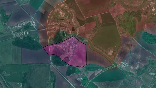
On the southwest side of Tetkino, Ukrainian assault operations continued, taking over more houses east of the railway. Whilst Russia is bombing and droning them, they have been unable to dislodge the Ukrainian assault groups.
On the southwest side of Tetkino, Ukrainian assault operations continued, taking over more houses east of the railway. Whilst Russia is bombing and droning them, they have been unable to dislodge the Ukrainian assault groups.