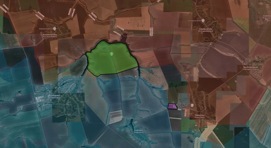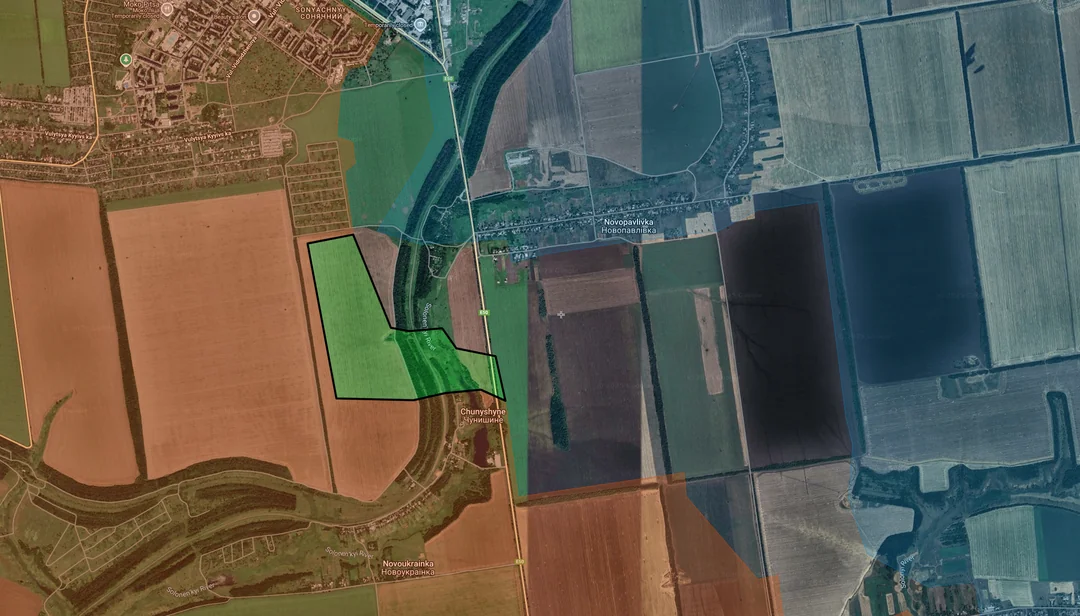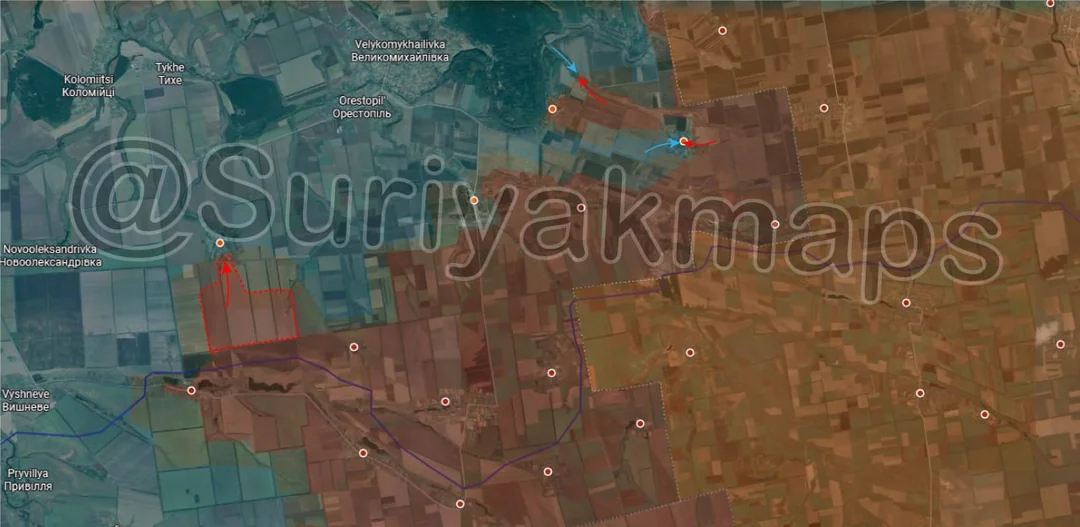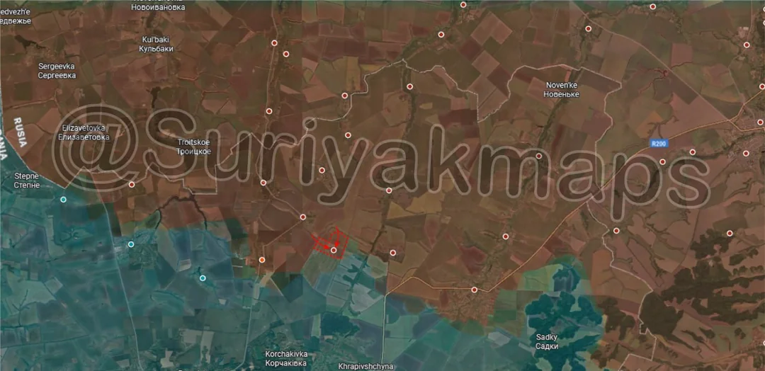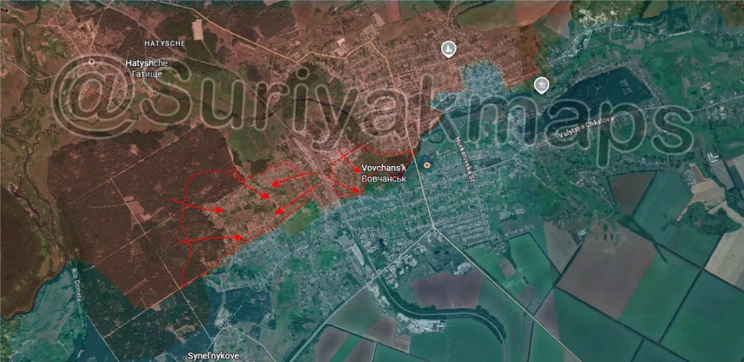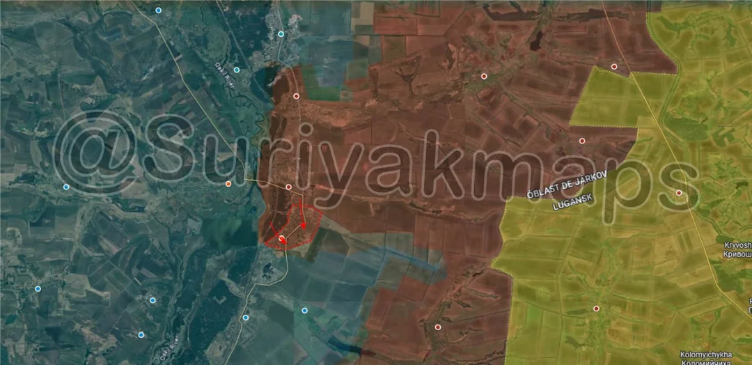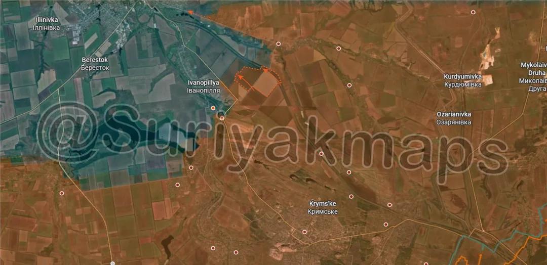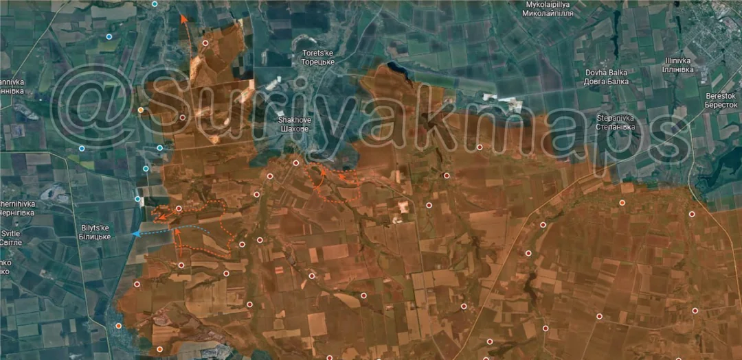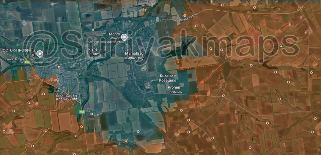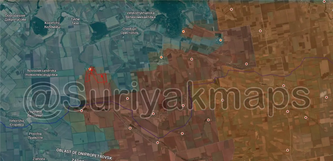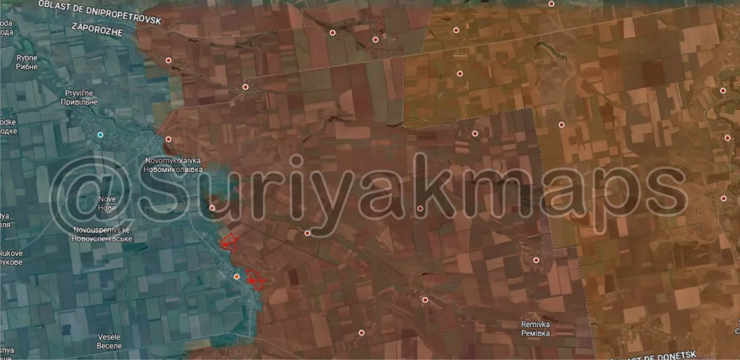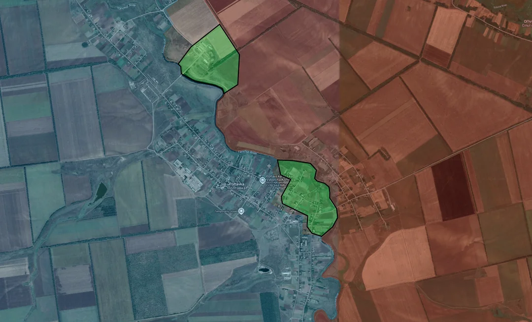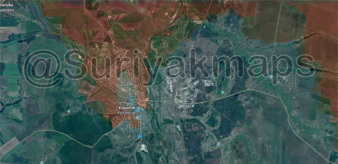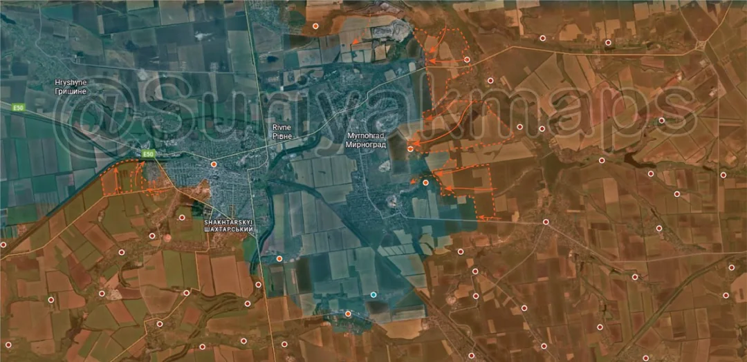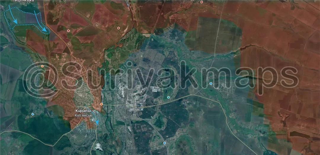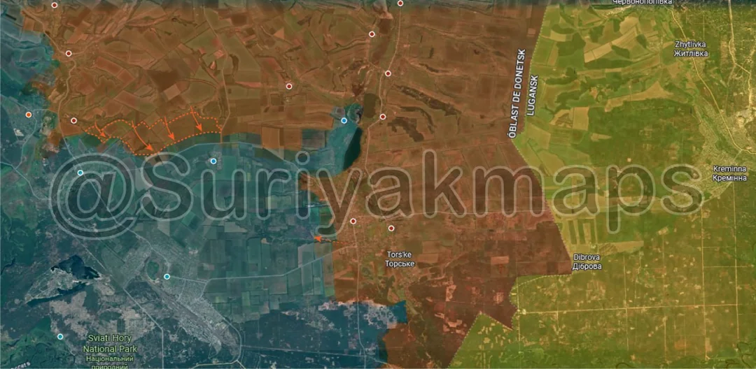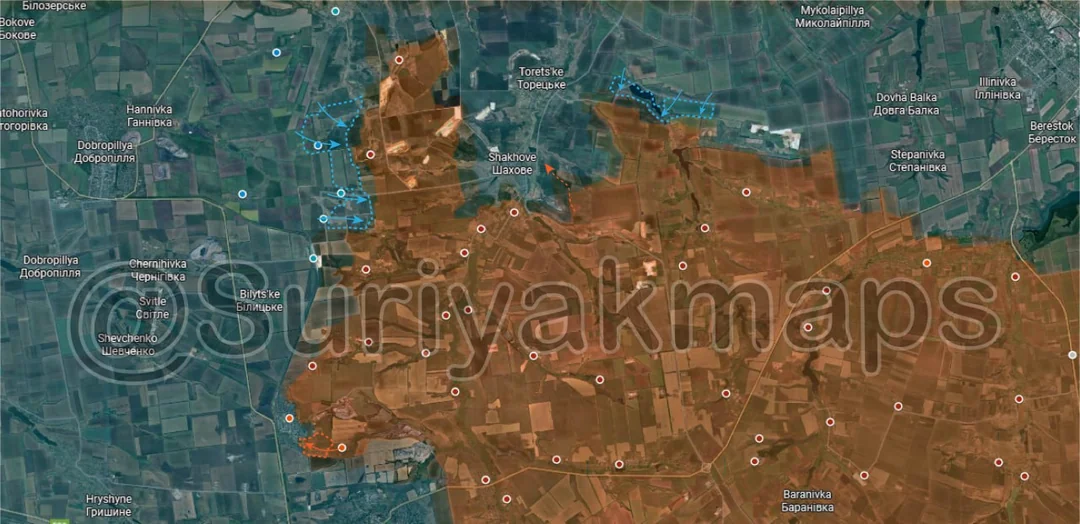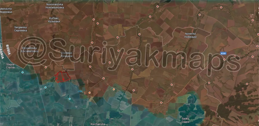
Ukrainian Forces
Advance: 3.08 km²
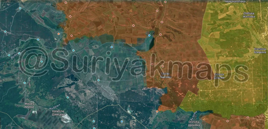
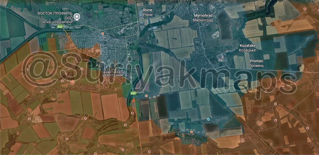
Oct 9, 2025 — Oct 12, 2025 War Day 1324–1327
Pictures 1 to 4 are from Day 1324 (Thursday 09 October), pictures 5 to 12 are from Day 1325 (Friday 10 October), pictures 13 and 14 are from Day 1326 (Saturday 11 October), and pictures 15 to 17 are from Day 1327 (Sunday 12 October).
------------------------------------------------------------------------------------------------------
A reminder that these maps are confirming updates from previous days (i.e. typically 12 to 72 hours delayed from each day).
Imagery, commentary, and territorial changes from the period.